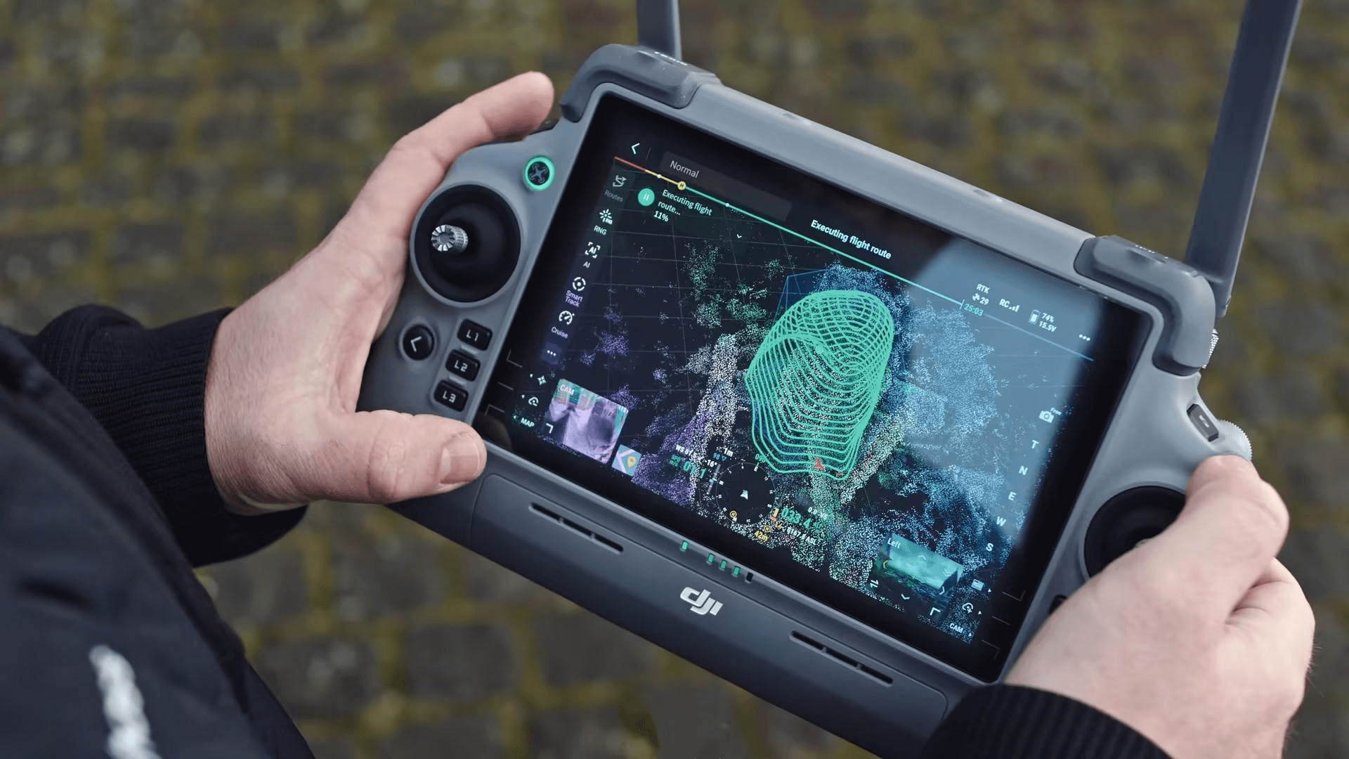
3D modeling with orthomosaic mapping using drones in an airport environment involves capturing highly detailed aerial imagery to create accurate, georeferenced maps essential for site surveys and asset management.
By integrating ground control points (GCPs) strategically placed across the airport grounds and adjacent properties—such as runways, taxiways, terminals, hangars, parking lots, and managed surrounding site facilities—surveyors ensure the spatial accuracy required for precise cut and fill analyses critical to earthworks and infrastructure maintenance.
This technology enables comprehensive monitoring of terrain elevations, facilitating optimized grading and drainage planning while minimizing operational disruptions. Additionally, the detailed 3D models assist airport management in maintaining safety compliance, planning expansions, and efficiently managing both airport-owned and nearby facilities within the controlled airside and landside environments.


