Here’s Examples of our work
(Scroll left and right and click “see it in action” for a video example of each)
-
![Infrastructure and Facility Inspections]()
Infrastructure and Facility Inspections
Conduct inspections of critical structures such as airport terminal roofing, FAA owned airport assets, bridges, towers, and buildings to assess integrity and maintenance needs. Provide data processing and analysis to convert aerial data into actionable insights.
-
![ER Ops]()
Emergency Response Drone Operations
Deploy drones rapidly during emergencies to provide real-time situational awareness, evidence collection, scene preservation and support response efforts.
-
![Wildlife]()
Wildlife Management and Hazard Mitigation
Utilize infrared drones to monitor wildlife activity and implement hazard mitigation strategies to enhance airport safety.
-
![Security]()
Perimeter Security Surveillance
Provide infrared aerial surveillance of airport perimeters to assist airport security to detect and respond to security breaches.
-
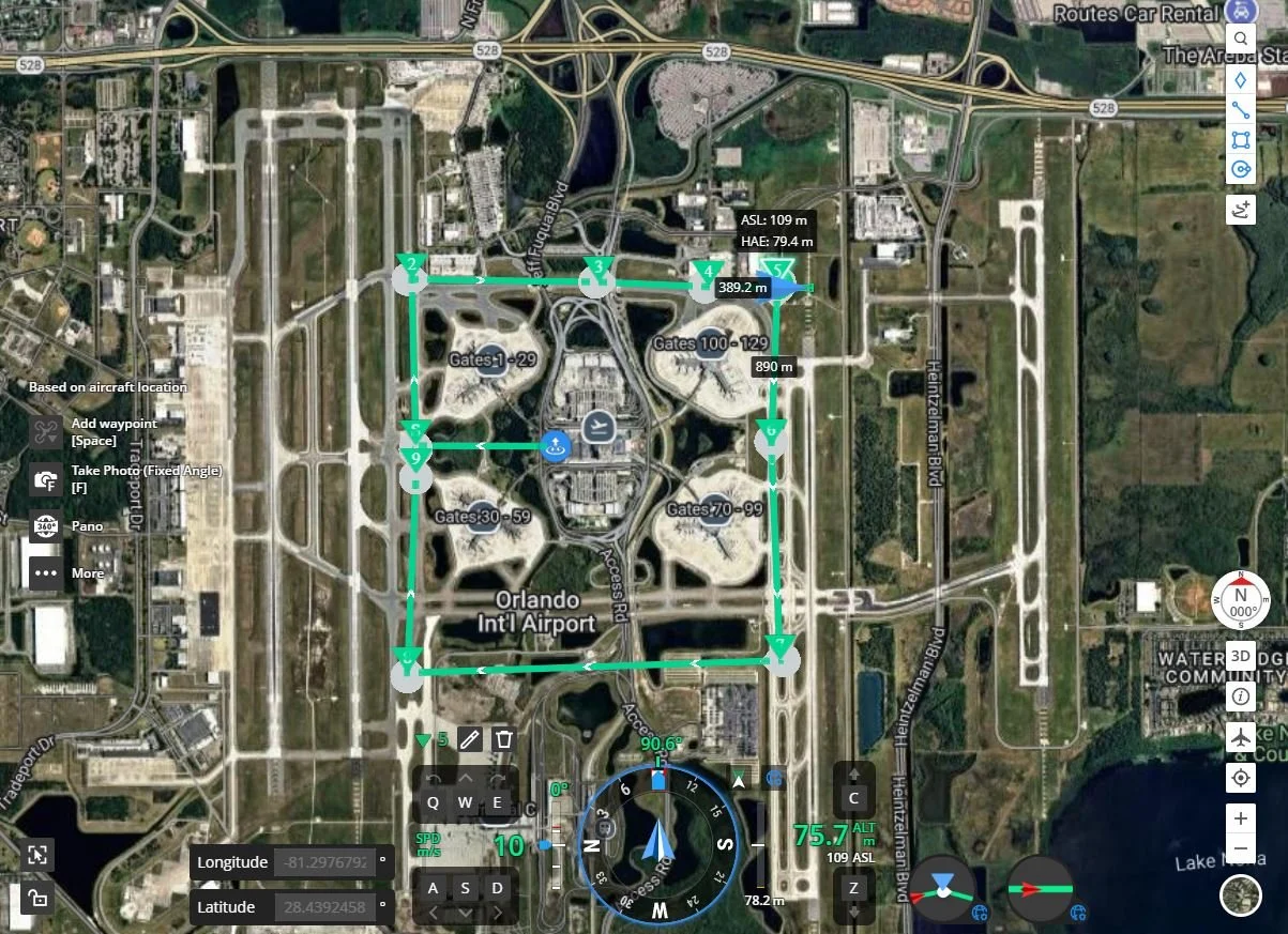
![Airfield and Terminal Inspections]()
Airfield and Terminal Inspections
Conduct inspections of runways, taxiways, and terminals using drones to identify maintenance needs and ensure operational safety.
-
![Construction Progress Monitoring and Reporting]()
Construction Progress Monitoring and Reporting
Capture aerial imagery and data to monitor construction progress, providing stakeholders with detailed reports.
-
![3d]()
3D Orthomosiac Mapping/Modeling Photogrammetry & Aerial Surveying
Using drones to create detailed 3D maps and models of airport sites for planning and analysis. Capture high-resolution photogrammetry and surveying services for accurate site assessments.
-
![Airport Anti-Drone Program]()
Airport Anti-Drone Program
Provide cutting-edge airport anti-drone technology and services to ensure the safety, security, and uninterrupted operations of our aviation clients.
-
![Environmental Monitoring and Reporting]()
Environmental Monitoring and Reporting
Use drones to monitor environmental conditions around airports, assist in data collection for SWPP plans and generate compliance reports.
-
![PR]()
Public Relations and Community Outreach Support
Assist airports in engaging with the community by showcasing drone operations and their benefits, including event showcasing.
-
![Putting Drones to Work]()
Putting Drones to Work
Drone pilots require specialized training for Part 107 to operate within controlled airspace, ensuring compliance with FAA regulations and certification with the local airport authority.
-
![Off airport AG]()
Off-Airport in Controlled Airspace
Leverage drone technology for NDVI mapping and volumetric analysis, and integrate LiDAR systems with RTK/GCP protocols to enable accurate landscape monitoring. Particularly for agricultural projects located within or adjacent to controlled airspace.